climate
Rain fails to end Switzerland’s prolonged drought
Autumn rain has provided only temporary relief from Switzerland’s persistent drought, with rainfall over the past month averaging below half the normal level in many areas. Dry ground has caused much of the recent precipitation to evaporate or run off.
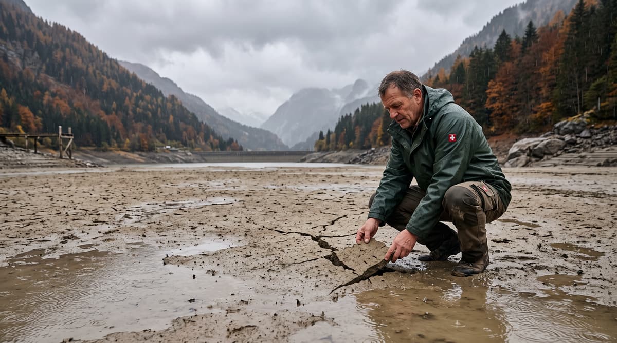
Switzerland’s latest rain has barely changed the drought picture. Several wet autumn days arrived north of the Alps from Thursday through the weekend, after a long period of mild weather and summer-like temperatures. MeteoSwiss recorded 20 to 40 millimetres of rain in the region, enough to wet roads, fields and forest floors. It was not enough to restore depleted water reserves.
The Federal Office of Meteorology and Climatology described the sequence as almost textbook autumn weather. Yet the condition of the ground limited its effect. Much of the water evaporated or ran off before it could soak deeply into parched soils and replenish streams, lakes or groundwater.
MeteoSwiss said the national situation remains tense. During the last 30 days, rainfall averaged below half the long-term norm in many parts of the country. In some areas, the total reached only 15% to 35% of normal.
That shortfall matters beyond agriculture. Switzerland’s rivers, forests and water infrastructure are entering a period when autumn precipitation normally helps rebuild reserves before winter. The recent rainfall has provided a pause in the dry spell, but current measurements show that the underlying deficit remains firmly in place.
Read the rivers for the real drought picture
The Jura and Swiss Plateau still carry the clearest signs of water stress. Rivers and lakes in both regions remain at particularly low levels, according to the drought assessment cited by Keystone-SDA. At many monitoring stations, flows have fallen to levels that statistically occur only once every 10 to 30 years.
The Upper Rhine has also recorded historically low levels. These measurements show why a few days of rain cannot immediately reverse the drought. River flow reflects accumulated conditions across a catchment, including soil moisture, groundwater storage, snow cover and recent precipitation. When the ground is exceptionally dry, early rainfall often goes toward restoring moisture in the soil before it reaches waterways.
The effects vary across Switzerland. The northern side of the Alps received the recent autumn rains, while low water levels continue to affect locations across the Jura and Plateau. The drought bulletin expects the rainfall deficit over a 90-day period to begin decreasing slowly after a slight increase in precipitation forecast for the following week.
That possible improvement remains gradual. For communities monitoring waterways, the relevant measure is sustained recovery in flow and storage, not a single wet weekend. Current readings indicate that Switzerland’s water system has not yet regained its seasonal balance.
Keep fire risk on the map
Forest fire danger remains significant across a broad band of Switzerland. The Federal Office of the Environment’s risk map shows elevated danger stretching from Valais to St Gallen. Parts of Upper Valais face a very high risk classification, despite the recent rainfall.
Dry vegetation can remain combustible after a short wet spell, particularly when rainfall does not penetrate deeply or when warm, dry weather returns. MeteoSwiss expects only a few local showers in the following week, with generally dry conditions continuing. Maximum temperatures could reach 19C in German-speaking and French-speaking Switzerland.
The geography of the risk reflects Switzerland’s varied terrain and climate. Valleys and slopes can dry rapidly, while exposed forest floors retain limited moisture after a prolonged deficit. Local authorities therefore continue to rely on regional assessments rather than treating the recent rain as a nationwide reset.
Residents and visitors should follow cantonal fire restrictions and warnings, especially in affected areas. A single discarded cigarette, unattended fire or spark from machinery can ignite dry vegetation. The current conditions also place added pressure on forests already weakened by water stress, with consequences that can extend beyond the immediate fire season.
Track what the drought is doing to forests
Swiss forests are entering winter after months of exceptional dryness. The drought has contributed to early autumn colouring and severe stress in trees, particularly where roots cannot access sufficient soil moisture. Recent rain can improve surface conditions, but it does not immediately restore deeper reserves or reverse damage already sustained by vegetation.
The strain is visible in forests and landscapes across the country. Trees use stored resources to maintain leaves, grow roots and defend themselves against pests. Extended water shortages can weaken those functions, leaving forests less resilient when heat, disease or insect attacks arrive later.
The source material describes this year’s drought as unmatched in Switzerland for decades and warns that some effects on forests may be irreversible. That assessment places the latest weather in a wider climate adaptation debate. Forest managers must plan for conditions that can change rapidly between heavy rainfall and prolonged dryness.
The recent rain still has value where it reaches the soil. It can reduce immediate stress, limit dust and provide some moisture for plants. Its benefits depend on what follows. With the medium-term forecast remaining mostly dry, forest recovery will rely on a longer sequence of soaking precipitation rather than isolated showers.
Watch the next 90 days closely
MeteoSwiss expects only slow improvement in the rainfall balance. A few local showers may arrive during the following week, but the broader forecast points to generally dry weather. Temperatures of up to 19C are expected in German-speaking and French-speaking Switzerland, conditions that can continue to draw moisture from exposed soils and vegetation.
The drought bulletin offers a cautious longer-term signal. Over a 90-day period, the rainfall deficit is expected to decrease slowly after a slight increase in precipitation next week. The wording matters: a declining deficit means the gap with normal rainfall may narrow, not that rivers, lakes and groundwater will immediately return to typical levels.
For Swiss communities, the coming weeks will require close attention to local conditions. Water managers will watch river flow, lake levels and groundwater. Cantonal authorities will continue to adjust fire guidance according to conditions on the ground. Farmers and foresters will assess whether further rain reaches root zones or disappears through evaporation and runoff.
The next meaningful shift will come from sustained precipitation across several catchments. Until then, Switzerland remains in a drought with low water levels, stressed forests and elevated fire danger, despite the autumn rain that recently crossed the country.