Switzerland
Switzerland’s drought persists despite recent autumn rain
MeteoSwiss says Switzerland’s drought remains severe despite recent autumn rain, with many regions receiving less than half their usual rainfall over the past month. Dry ground has caused much of the precipitation to evaporate or run off.
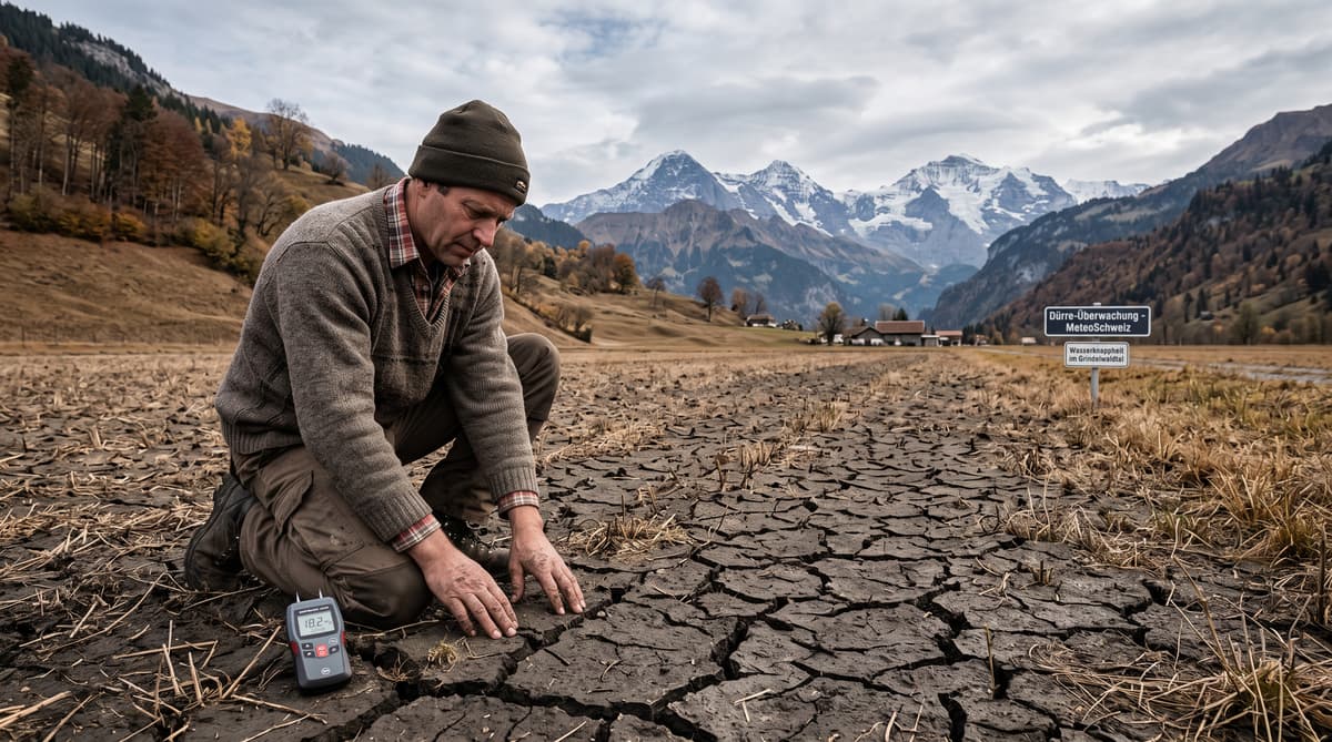
Switzerland’s recent rain delivered 20 to 40 millimetres north of the Alps, yet the drought remains severe. After a prolonged spell of mild, summer-like weather, several wet autumn days arrived from Thursday through the weekend. MeteoSwiss described the sequence as unfolding “almost as if from a meteorology textbook”.
The rainfall has not repaired the country’s water deficit. Much of the ground was so dry that a significant share of the precipitation evaporated or flowed away before it could replenish soils, streams and groundwater. In many regions, the past month brought less than half the usual rainfall. Some locations recorded just 15% to 35% of their normal total.
The timing matters for communities across Switzerland. Rivers and lakes remain particularly low in the Jura and on the Swiss Plateau, while monitoring stations are registering flows that statistically occur only once every 10 to 30 years. The Upper Rhine has also reached historically low levels.
The rain therefore eased conditions briefly without changing the broader hydrological picture. Farmers, water managers and local authorities are still dealing with depleted reserves as autumn advances.
Track the water deficit
Many parts of Switzerland received less than 50% of their normal rainfall over the past 30 days. That national picture masks sharper local shortfalls. MeteoSwiss told Keystone-SDA that some places reached only 15% to 35% of the long-term average.
The recent event was concentrated north of the Alps, where 20 to 40 millimetres fell over several autumn days. Such totals can look substantial on a daily weather map, but they do not automatically translate into stored water. Dry soils absorb unevenly, while intense showers can run over hardened surfaces into drainage channels and rivers. Evaporation also removes water before plants and groundwater systems can use it.
The result is a patchwork of local pressure. Low river and lake levels are especially visible in the Jura and on the Swiss Plateau. At some monitoring stations, flows are so reduced that comparable readings normally occur only once every decade or several decades. The Upper Rhine has recorded historically low levels.
Switzerland’s alpine geography usually supports its reputation as Europe’s water tower. The current conditions show how quickly that reserve can come under strain when prolonged warmth and a sustained rainfall deficit coincide.
Keep forests on alert
Forest-fire risk remains significant from Valais to St Gallen, with parts of Upper Valais at very high risk. The Federal Office of the Environment’s fire-risk map shows that the rainfall has not removed the danger created by dry vegetation, depleted soils and low water availability.
In the mountains and valleys, the effects are visible beyond the rivers. Forests have entered autumn conditions early in some areas, and drought stress can weaken trees before the cold season arrives. A lack of moisture limits the ability of roots to draw water from the soil, leaving vegetation more vulnerable to pests, disease and further heat.
The risk is uneven across the country. Local authorities assess conditions according to weather, vegetation, terrain and recent precipitation, so restrictions can vary between cantons and municipalities. Upper Valais faces the most serious classification cited in the latest assessment, while the broader risk corridor stretches eastward to St Gallen.
Residents and visitors should follow local fire regulations, particularly when using grills, fires or outdoor heating equipment. Even after rain, dry forest floors and accumulated plant material can remain combustible. The federal map provides a national warning picture, while cantonal authorities determine local measures.
Prepare for a slow recovery
MeteoSwiss expects the dry pattern to remain broadly in place in the medium term. A few local showers may arrive next week, but forecasts point to generally dry weather across the country. Maximum temperatures could reach 19°C in German-speaking and French-speaking Switzerland, extending the period in which soils and vegetation lose moisture.
The longer-range outlook offers limited relief. MeteoSwiss’s drought bulletin projects that the rainfall deficit may begin to decline slowly over a 90-day period after a slight increase in precipitation next week. That would mark gradual improvement rather than a rapid recovery. Rivers, lakes and groundwater respond at different speeds, and a short rain episode cannot restore every part of the water cycle.
For Swiss communities, the coming weeks will keep attention on river flows, lake levels, forest conditions and local fire rules. Agriculture will also depend on whether later rainfall reaches the soil steadily enough to support winter preparation and replenish reserves.
The latest forecast gives no basis for treating the drought as resolved. The immediate pattern remains dry, while the national water balance will need sustained precipitation before conditions return to normal.