Weather
High Avalanche Alert Issued for Southern Swiss Alps Amid Record Snowfall
Authorities have raised the avalanche risk to level 4 ('high') in the southern Swiss Alps, particularly in Ticino, following exceptionally heavy snowfall. Over a meter of fresh snow has been recorded in some areas, prompting warnings of spontaneous avalanches and potential transport disruptions.
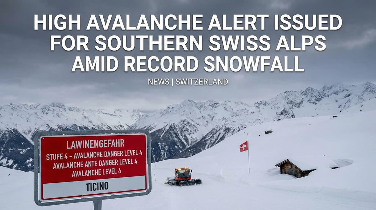
Winter has returned to Switzerland with a vengeance, burying the southern Alps under a staggering blanket of white just as spring seemed to be taking hold. In a dramatic display of nature's volatility, Bosco-Gurin in Ticino recorded an unprecedented 116cm of fresh snow in a mere 24-hour window, shattering local records and forcing authorities to scramble. This is not a gentle dusting; it is a heavy, dangerous deluge that has plunged the region back into the depths of winter.
The sheer intensity of this storm has forced the snow line down to a low 500 meters, blanketing valleys that were green only days ago. While the northern plains of Central Switzerland grapple with lighter accumulation, the southern slopes are bearing the brunt of this atmospheric assault. MeteoSwiss confirms that the Locarno area and the Maggia and Verzasca valleys are confronting up to 90cm of fresh accumulation above 1,600 meters. This rapid, heavy loading of the snowpack has created a critical situation, necessitating an immediate and aggressive response from federal safety monitors.
Critical Infrastructure Paralyzed: Roads Close and Power Fails
Switzerland's renowned transport network is buckling under the weight of the storm. The A9 motorway, a vital artery around the Simplon Pass, has been slammed shut to all traffic, severing a key connection as conditions deteriorate rapidly. The Touring Club of Switzerland (TCS) reports that the isolation extends to the Saas Valley in Valais, where roads are currently impassable, leaving communities cut off from the outside world.
The impact extends beyond travel chaos. In Graubünden, the heavy, wet snow has snapped trees and downed lines, plunging several hundred homes in Saas and Küblis into darkness on Saturday night. The risk of falling branches and toppling trees remains acute, adding a layer of physical danger to the infrastructure paralysis. With road crews fighting a losing battle against the falling snow in eastern Switzerland, the message from authorities is clear: travel is not just difficult; in many areas, it is impossible.
Red Alert: Spontaneous Avalanches Threaten Alpine Valleys
The danger in the mountains has surged to critical levels. Federal authorities have issued a Level 4 'High' avalanche alert for the southern slopes of the Alps and the adjacent northern ridge. This is a severe warning: the snowpack is highly unstable, and meteorologists predict that large, spontaneous avalanches could break loose at any moment, threatening not just skiers but vital traffic routes and valley floors.
The sound of explosions echoed through the Valais on Sunday morning—not from thunder, but from urgent pre-emptive blasting operations designed to trigger controlled slides before nature does so catastrophically. While the rest of the Alps remains at a substantial Level 3 risk, the situation in Ticino is precarious. The combination of massive fresh snowfall on top of older layers has created a hair-trigger environment. Authorities warn that even a single skier could release a deadly slide, and the risk extends to lower altitudes where wet snow avalanches are becoming increasingly likely.